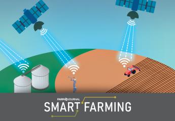
New product line to advance precision agriculture with sensors

A new product line has been launched that will help growers and agronomists to gather and process data faster and more efficiently with unmanned aerial vehicles. The two new sensors, from Slantrange, SL2i and SL2p, as well as a new version of SlantView, the company's proprietary data analytics software, will enable customers to cover twice as much area in a flight. The new sensors offer four times as much as conventional multispectral mapping techniques, Slantrange claims.
Slantrange is a company that
produces sensors and analytics for drones.
"One of the biggest concerns we hear is the race against the clock," said Mike Ritter, CEO of Slantrange. "Drone battery life limits flight time and affects how efficiently farmers can collect data. We have optimized our new products to maximize the area that can be imaged within a flight to help farmers gain more insights faster, and at a lower cost."
The new version of the analytics software, SlantView, will offer even faster data processing, typically less than five minutes for a 160-acre field, and new data products, including plant population counts, yield potential, and canopy closure. With the new user interface, customers will more easily access data and streamline their workflow according to individual preferences. The software is tightly integrated with the sensors, which are available in two versions. SL2i is the suggested product for entry-level users while SL2p will offer full multispectral performance for more advanced users.